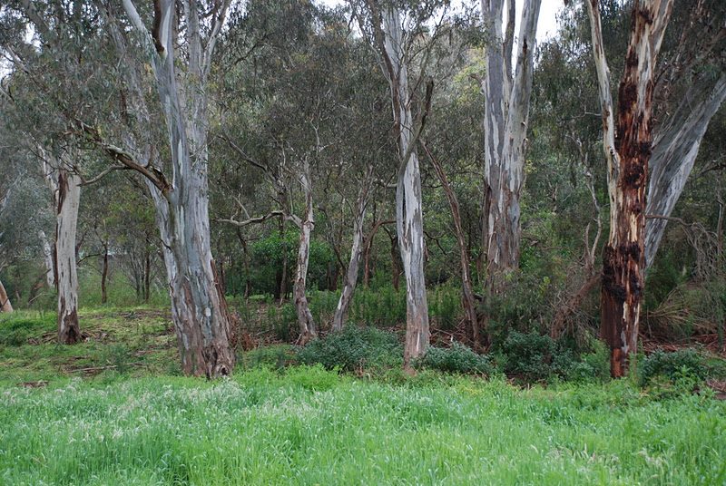
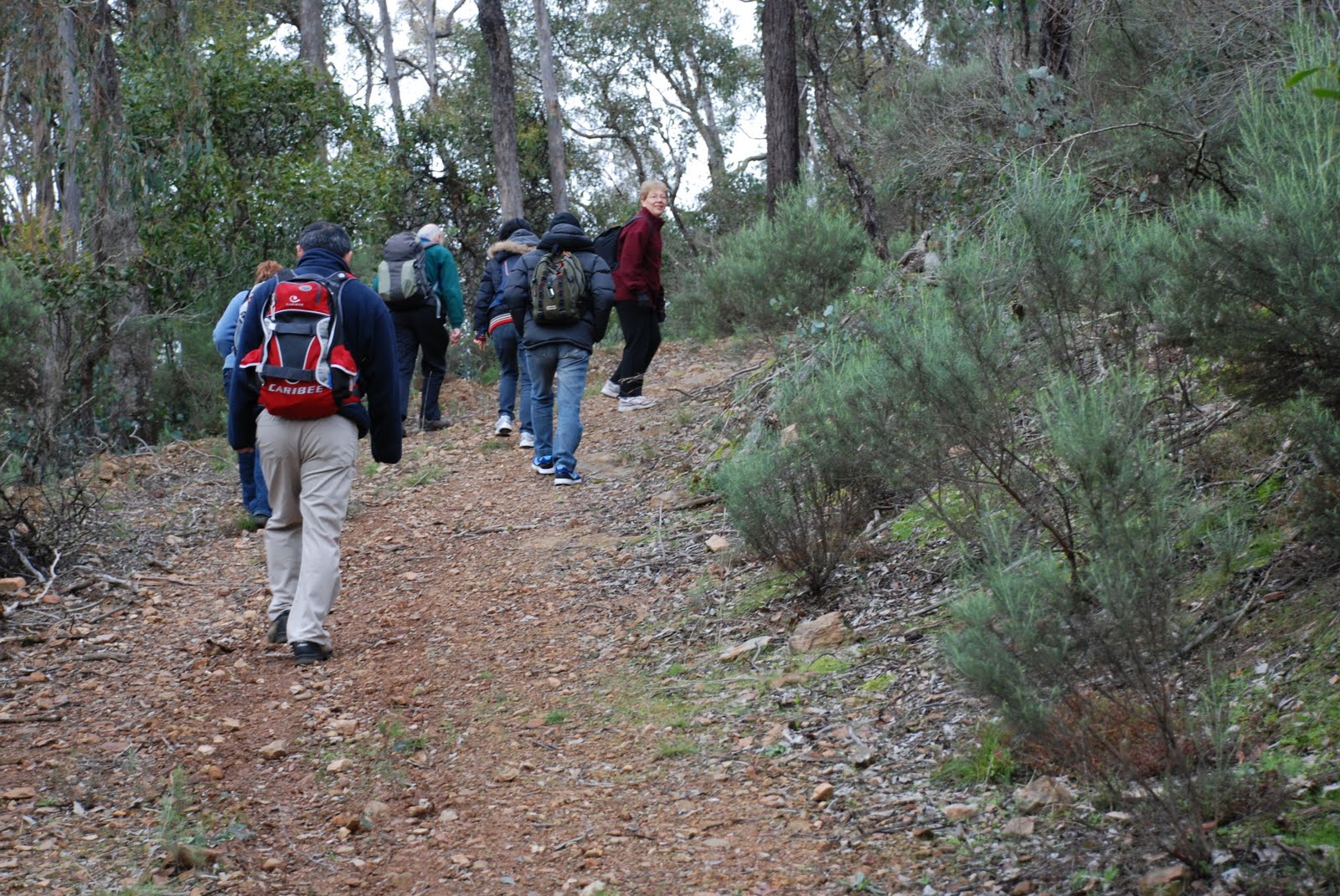
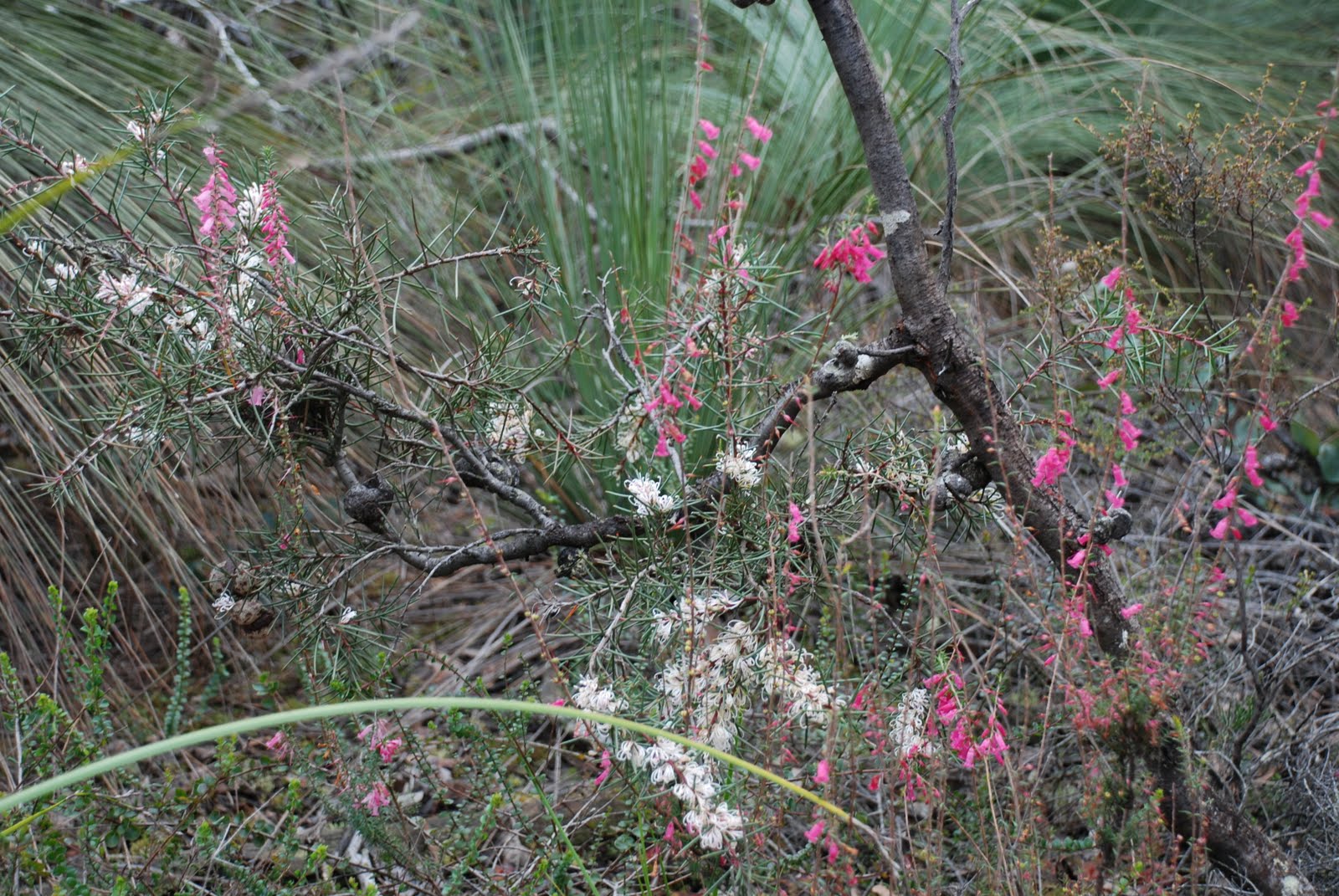
No, we didn't drive to Queensland, only to Bacchus Marsh. Then a little further to the Brisbane Ranges. Our expert guide lead us along the maze of paths through Boar Gully and we weren't even blown away by the blustery winds.
Some more to come .... promise!!!
This is a Victorian based walking club for people who are interested in enjoying the outdoors, botany, geology, nature photography, painting, good company and of course walking.
Showing posts with label Brisbane Ranges. Show all posts
Sunday, August 18, 2013
Sunday, August 5, 2012
Boar Gully, Brisbane Ranges, Saturday 4th, August
We met in Bacchus Marsh in bright sunshine, after a wet drive, and drove
to Boar Gully Campground in the Brisbane Ranges National Park. After a
bit of stumbling around trying to find a path which had vanished in two
weeks, we set off to explore the North East corner of the park.
We walked Farm Track, Spring Creek Track, Loop Track and on Hare Track,
where we met a furry friend (not a hare - see photo).
![]() |
| Not a hare! |
Then onto Bluff Tk, with kangaroos bounding off through the forest
and a wedge-tailed eagle circling low overhead, inspecting us.
Back to Loop Track, with a large stand of grass trees (see photo)
![]() |
| Grass tree |
and onto Glider Track, with wattles whose bright yellows stood out amongst
the brown stringy barks (see photo of Acacia pycnantha - of Australia's floral emblem).
![]() |
| Acacia pycnantha amongst stringy barks |
![]() |
| Close up of Acacia pycnantha |
These tracks all run along the edge of the Spring Creek gorge, with views
across to distant hills. At a little dam on Loop Track, we had lunch
(see photo of one member of the group).
![]() |
| A Walkabouter! |
![]() |
| Walkabouter's Picnic Point |
Back across Reids Rd and down Pea Track to Aeroplane Rd, where we talked about the air force pilot who crashed here in Dec 1936, was badly injured
but was rescued and recovered after months in hospital.
Then onto Oblique Tk, where the leader gave the compulsory botany talk, this one on the different types of eucalyptus bark, at a spot where a number of species
(stringy bark, box and ironbark ) grow together.
![]() |
| The track |
We speculated as to whether the track
was named after the asymmetrical leaves of the messmate stringy bark, a
sample of which just happened to be lying on the track. Then on to Old
Thompson Rd and back to Boar Gully for a cup of tea. The total walk was
about 16km of relatively flat terrain.
Walkabouters Club of Victoria Inc.
A0019863A
Sunday, July 29, 2012
Boar Gully, Brisbane Ranges - Saturday 4th, August
We will walk in the Boar Gully area, in the northern section of the Brisbane Ranges National Park.
Grade:
Medium walking, about 12 km in length.
This rating means we won't be walking too fast, nor walking too slow. The tracks will well formed and underfoot. We will not be in peril, yellow or otherwise.
| Yellow Peril?? |
What is the real name to this infamous Victorian sculpture?
And who was the Sculptor?
For the answers to these and many other mind boggling questions,
join us on our walk through Boar Gully in the Brisbane Ranges.
walkabouters@hotmail.com
Walkabouters Club of Victoria Inc.
A0019863A
Saturday, October 8, 2011
Main Yarra Trail - Saturday, 8th October
Today we met at Finns Reserve in Lower Templestowe for the start of our day's walk.
Our plan was to walk along the Main Yarra Trail that follows the Yarra River on its meandering journey through the north eastern suburbs of Melbourne.
The Yarra River flows from its sources in the Yarra Ranges, 242 kms east of Melbourne. It flows through the Yarra Valley before winding its way through expansive plains which is now home to the north-eastern suburbs of Melbourne before emptying into Hobsons Bay at the northern end of Port Phillip Bay.
Did you know that the local Indigenous people, the Wurundjeri called the Yarra Birrarung. The name Yarra, was taken from a mistranslation of another Wurundjeri term in the Boonwurrung language, Yarro-yarro. which means 'everflowing'.
Following the Main Yarra Trail, we walked through Westerfold Park,
| A Rapid view! |
over several bridges,
past many stands of gum trees,
all the while taking in views of the ever flowing Yarra River.
We walked past Petty's Orchard.
Old apples trees nearly stretch their branches laden with blossom
over the banks of the Yarra.
Old apples trees nearly stretch their branches laden with blossom
over the banks of the Yarra.
Thomas Petty arrived in in Australia from England in 1853 and gained a selection of land in the Templestowe and Doncaster surrounds. It was his grandson Thomas Henry who developed the Homestead Property into a thriving orchard that remained in the family until 1981. At this time the Parks Victoria purchased the Homestead and the Heritage Fruit Society manages and maintains the remnant heritage fruit collection of Petty's Orchid.
We enjoyed our lunch at the confluence of the Yarra
and Mullum Mullum Creek, in Tikalara Park.
On our return walk, we were treated with a splendid surprise!
Whilst peaking over a bridge we spotted something swimming in the river!
| It's not a log! It's a Platypus! |
Is it a log? No. Is it a fish? No. Is it a duck? No. It's a Platypus!!
There was not one but two of them, frolicking and foraging in the current of the Yarra River!
| It's just child's play! |
And then we were back!
Thank-you to our leader for another great walk!
Walkabouters Club of Victoria Inc.
A0019863A
Labels:
All things Victorian,
Brisbane Ranges
Sunday, July 17, 2011
Sapling Gully - Sunday, 17th July
It's a tradition with the Walkabouters to allow plenty of time prior to the commencement of the walk. This allows time for navigation issues in new areas and for stragglers to arrive in time. It also lets early arrivals to have an extra cuppa before heading off.
Due to recent mishaps with arriving on time to walks in the Brisbane Ranges, the meeting point was in Bacchus Marsh and extra early to allow for car pooling and prevent anyone from getting lost. This tactic worked well!
With only a few kilometres to drive, from Bacchus Marsh, it wasn't long before we arrived at the start of the walk - Sapling Gully Picnic Area.
Sapling Gully is in the northern end of the Brisbane Ranges, which is 80 kms west of Melbourne. Sapling Gully is a very rocky creek bed that runs in a fairly north-south direction between the hills, and the picnic area is lies between two steep, rocky hills adjacent to the gully. In heavy rain this gully would rapidly fill with water running off from the hills, quickly becoming a raging torrent.
We started our walk, heading up Red Ironbark Track, following the ridge line toward the summit of the mountain. Our first steep incline of the day!
| Red Ironbark Tree |
The track crossed a tributary of Sapling Gully, which showed recent evidence of the recent floods. A lot of debris lay strewn along it's path.
After a few initial undulations to warm us up, we commenced the steep part of the incline!
Fortunately, there were many interesting botanical observations to be made on this ascent which allowed everyone to catch their breath without anyone noticing!
Due to the recent rains, the vegetation was very lush and green. Moss was growing prolifically on the lower slopes, providing a patchwork of every possible shade of green.
There were even some tiny fungi growing amongst the moss.
As we gained altitude the moss gave way to lichen and the bushy undergrowth became more sparse.
Shortly before reaching the summit we started to encounter the odd Grass-tree here and there.
It wasn't long before we were surrounded by them!
Upon reaching the summit of the ridge, we took a few moments to indulge in some botanising.
Unfortunately, we didn't see a single orchid. Maybe it was a bit early in the season.
And then we headed down hill, toward our lunch destination.
This cave looked the perfect place for a yeti to hide, or maybe a black panther!
We took a right turn at Glider Track,
and followed the meandering path,
between the Eucalypts,
past a sudden drop,
through an open space,
and after a quick consultation with the trusty GPS, we arrived at our designated lunch spot.
| WP - Walkabouter's Picnic |
We knew it was our lunch spot because the sign in the background said so!
The Water Point looked just like the place a bunyip would live.
After lunch we headed back along Loop Track,
past trees that were regenerating after recent fires.
We stopped to say hello to the friendly Parks Ranger,
before finding Pea Track and disappeared into it.
A brief stop to quench our thirst and to listen to a story about an aeroplane that crashed landed near here.
We quickened our pace, after the brief rest, as the temperature was became considerably colder, as a south-westerly breeze sprang up, ahead of the forecasted rain.
After a trudge along an ascending 4WD track, we arrived back at Sapling Gully Picnic Area.
Five Walkabouters and two guests enjoyed this winter's walk through the northern part of the Brisbane Ranges. We walked 13.5 kms in total and climbed 140 metres up Red Ironbark Track to the summit of the ridge.
Hot cups of tea and biscuits were a welcomed reward after a good days walk!
For more information, the Friends of the Brisbane Ranges have a very informative website
about the flora, fauna and geology of the area.
Parks Victoria also have information on tracks and walks in the area.
See the link on the side bar to visit the website
Walkabouters Club of Victoria Inc.
A0019863A
Subscribe to:
Posts (Atom)