Point Nepean is no ordinary place for a bush walk. It's history weaves a remarkable story that leads us back to it's original inhabitants, early European settlement and has links to the Great Wars that were fought in Europe. Intrigue and mystery also surround Point Nepean. This is where Harold Holt, the Australian Prime Minister went for a swim one day and was never seen again.
Point Nepean is located at the very tip of the Mornington Peninsula and together with Point Lonsdale on the Ballerine Peninsula form The Heads or the entrance to Port Phillip Bay.
We were looking forward to take in the views of Bass Strait and possibly ships navigating the Rip while passing through the Heads.
Today 16 walkers met in the car park of the Quarantine Station at Point
Nepean National Park and set out along Coles Track heading towards Fort
Nepean. It was a beautiful sunny morning with forecast for a southwest
change around midday, so rain coats were stowed securely in our packs.
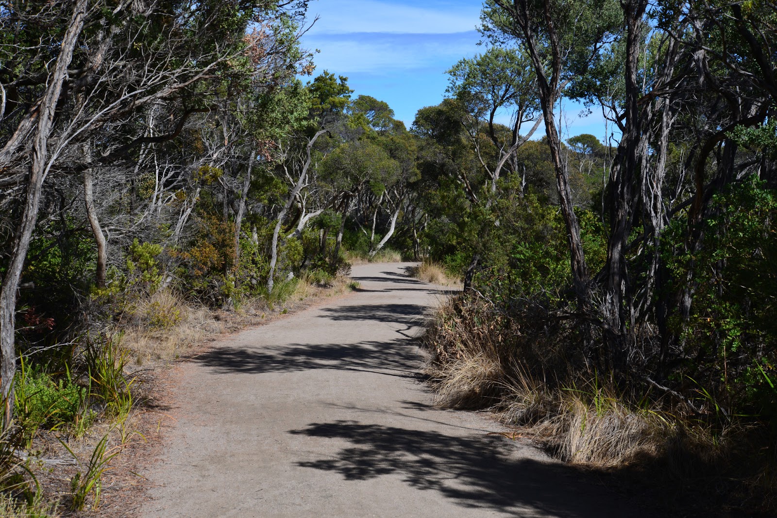
Coles Track is well formed and wide enough for a couple of people to walk side by side for most of it's length. In places there are large steps which makes the walk not entirely suitable for wheelchairs, prams or people with very short legs!
Our first interesting stop was a long strip of
grass called the Monash Break. This break stretches from the Bay to the Ocean on
the south of the Peninsula.This clearing was created as a maritime navigational aide and relied on aligning big black squares and flags. GPS works so much better, no wonder it is now just a fire break!
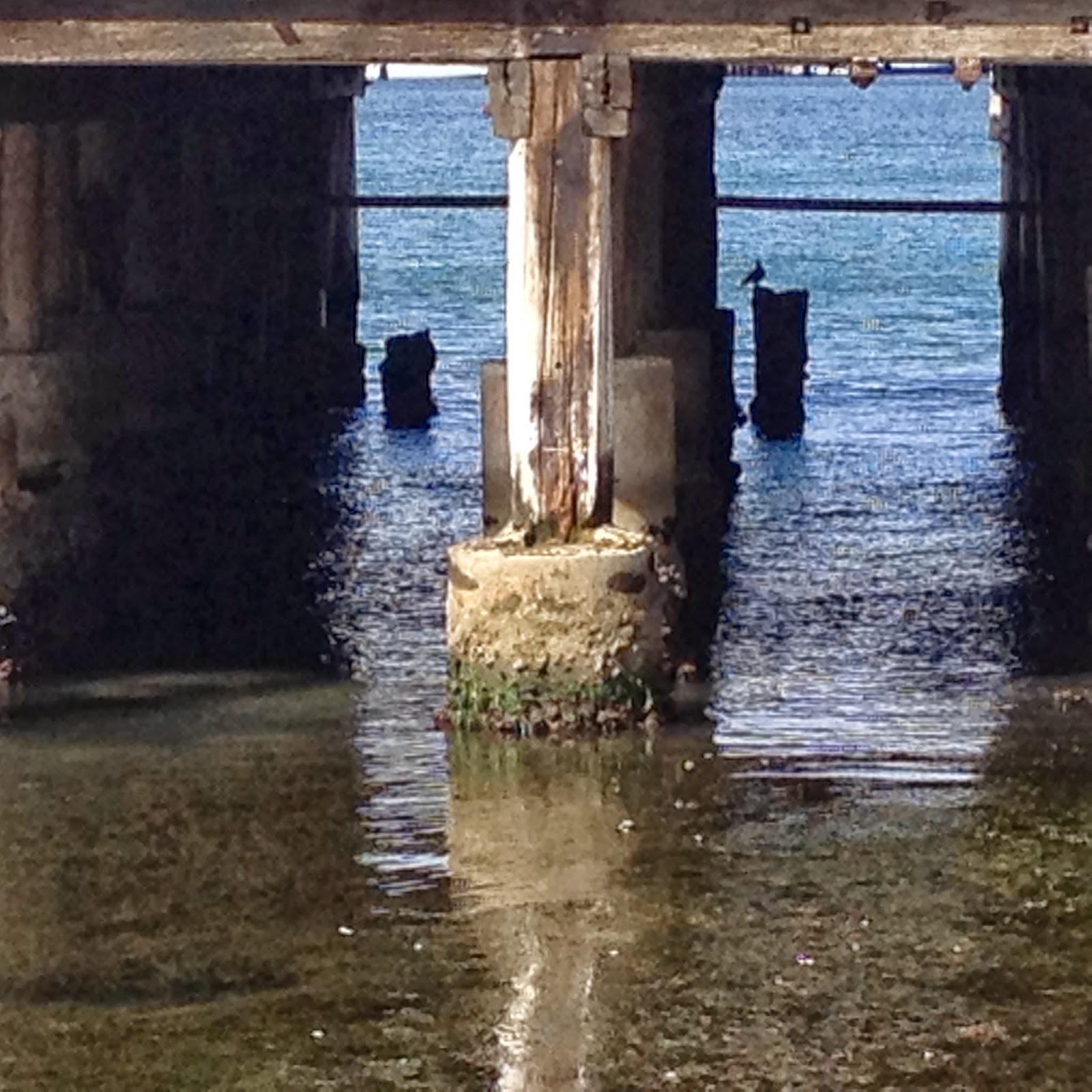
Coles Track was originally a service track used to repair the telephone line that was installed to improve communication with the Fort and Melbourne during wartime. It was also used to load and unload quarantined cattle from ships. The cows were herded on and off boats via the jetty near Observatory Point.
Below is part of what's left of the jetty.
Some views of the Bay from the Jetty.
 |
| Storm clouds across the Bay |
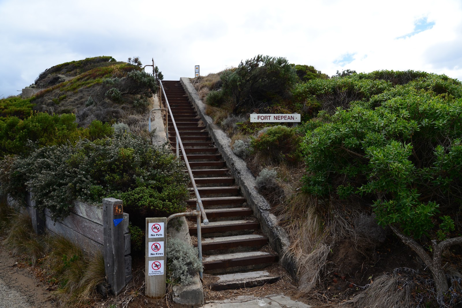
There is a tangle of walking tracks throughout Point Nepean. They are mostly well sign posted. This junction was very well signed posted.
We took the track to Observatory Point which was shaded by tea-trees lining the path. The remnant bushland of coastal plants used to cover the entire Peninsula provides shelter for many native species including the Black Wallabies, White-footed Dunnart, and the Long Nosed Bandicoot. It is also provides a home for Singing Honeyeaters, Blue-winged parrots and Hooded Plovers.
At Observation Point there is a viewing platform and stairs leading to the beach. It is a 2.5 km walk back to the Quarantine Station along the beach. This would make for a lovely beach walk except for today. The storm clouds were steadily gathering from the west.
 |
| Approaching storm clouds |
A short uphill walk from Observation Point to us to some more observation points. These ones were made of solid brick and concrete with small narrow windows looking out down upon the beach and Peninsula below.
A number of these gun emplacements were built on strategically significant landmarks across the Peninsula to protect Fort Nepean from invaders from the sea.
 |
| The view |
Here are some more views.
 |
| A tree with a view |
 |
| View towards the Point |
 |
| Ocean view |
To assist with the fortification of Point Nepean, land mines and bombs were scattered on the ground between the gun emplacements. These ordnances have been slowly cleared away from these areas through a careful program of back-burning. Tracks have been built to enable the public access through this land allowing greater access to buildings and areas of historical significance.
There are still some live ordnances that have not been cleared. Fences with warning signs surround these areas and only the fool hardy would ignore these safety measures.
The next few photos show gun emplacements pointing towards the ocean on rocky outcrops of Cheviot Beach.
On the hill above the beach is the "Eagles Nest" gun emplacement. It almost looks like a multi-million dollar modern minimalist beach house that can be found further up the Peninsula!
A disappearing gun was also built here. After firing it 9.2 inch rounds, the gun would recoil out of sight allowing it to be reloaded in relative safety.
 |
| The gun has completely disappeared |
The photo below shows the view back up the Peninsula with the Bay on the left and ocean waves crashing on the right.
 |
| The narrow Peninsula |
This photo shows Point Nepean with the Rip and Point Lonsdale in the far distance.
We ate our lunch while enjoying the views of the approaching storm and of ships navigating the Rip between the Heads.
Here are a few photos of the dramatic views.
 |
| You can just make out the light house |
 |
| Mmm...someone left their lunch box behind under the rock?! |
As we finished eating the heavens opened. It was on with our wet weather gear,
as we dashed to the underground safety of Fort Nepean!
Exploring the tunnels and rooms of the old Fort was exciting and very informative. We discovered that the Fort was originally build in the 1880's to secure the burgeoning Colony which was amidst a very lucrative gold rush. Parks Victoria have set up diplays of historical facts and information about what was happeing in Melbourne at the time the Fort was built.
The Fort was used in the First and Second World Wars and shots were fired as a part of these conflicts at unidentified boats that approached the Heads.
After wandering around the tunnels for an hour it was time to walk back. Fortunately, the worst of the storm had blown over, so we didn't get too wet on the way back.
We stopped to look at Cheviot Beach where, in December 1967, Prime Minister Harold Holt went for a swim and didn't come back. There has been a lot of conjecture about his disappearance over the years. Some have suggested that he was picked up in a Chinese submarine, while other suggest he deliberately drowned himself. In 2005 an inquest into his disappearance concluded he was swept out to sea and drowned.
 |
| There was no sign of Harold or the submarine! |
It's always amusing to remember that a swimming pool was named after Harold Holt.
 |
| The sea was very rough |
The highest Peak on Point Nepean is Cheviot Hill (55m). The photo below shows the view from inside a gun emplacement on top of Cheviot Hill looking over Cheviot Beach.
Cheviot Beach and Hill were named after the SS Cheviot that became ship wrecked off the beach in 1887. Some of those who died in the wreck are burried in the nearby Cemetery.
 |
| The view from Cheviot Hill |
After venturing up Cheviot Hill we continued along the track and came across the other end of Monash Break. A modern tower has been constructed on the original tower. It is covered in solar panels and other instruments. We climbed up to nearly the top and enjoyed views across the Peninsula.
 |
| Monash Light |
A view from the top along Monash Break towards the Bay.
 |
| The Monash Break |
 |
| View towards the Quarantine Station |
It is not far from the Light to the Quarantine Station and we were soon back to where we started. Before heading home, we wandered around the old buildings with great interest.
The buildings were first used for Quarantine purposes in 1852 when the ship "Ticonderoga" and continued to operate as a Quarantine Station until 1980.
 |
| Big fines |
 |
| A window view |
These autoclaves used for sterilizing possessions and people would have been a very scary sight for some European Immigrants after the Second World War.
Ovens were also used to burn infected possession but never people!
After we had our fill of history and our clothes were suitably dry we headed home.
Well almost.
Some of us made a short stop at the Sorrento Hotel for some much needed refreshments!
 |
| Photo works if you tilt the screen a bit! |
It was a very wet walk!
See you at the next walk, however oysters and sparkling wine is not guaranteed!
For more information about Point Nepean National Park click
here.
Walkabouters Club of Victoria Inc.
A0019863A