Today five Walkabouters met in Warburton and ventured out to Big Pat's Creek.
We parked our cars at the Picnic Ground just off Smythes Creek Road not far
from the junction of Mississippi Road in Big Pats Creek.
At this small picnic ground, two walking tracks lead off into the tall mountain ash forest. The Upper Yarra Walking Track or Walk into History track, follows the creek
south for
9 kilometers to Starlings Gap. This track was once the old Federal
Tramline that was built in 1933 from Big Pat's Recreation Reserve to
Starlings Gap.
The second walking track is Richards Tramline. This track follows the tramline
that was constructed by William Richards in 1916.
This was the track that we walked today.
What on earth were all these tramlines doing out in the forests of the
Upper Yarra Ranges?
Well, they weren't for carting people to shopping centres.
These tramlines were built to cart logs and timber from sawmills that were established deep in the forests, to the trains in nearby Warburton. The tall Mountain Ash eucalyptus trees were prized for building materials for the many houses being built in Melbourne in the early 1900's.
We walked along the track that was once Richards Tramline as it gradually made its way up the mountain side towards Starvation Creek Valley. It felt easy walking along the slight gradient of the tramline but we were soon met various obstacles that proved rather challenging.
Richards had many challenges when he built his tramway too!
To avoid the fees charged by local land owners, Richards constructed several
very tight curves on one section of his tramline.
We just had to clamber over and under a few fallen trees.
He also build two very deep culverts which we splashed our way through as they had turned into very large puddles stretching about 20-30 metres.
Gumboots would have been very handy!
The cool, damp hillside provided the perfect shelter for stands of fern trees.
Sign posts along the route that provided information
about the history of the tramline.
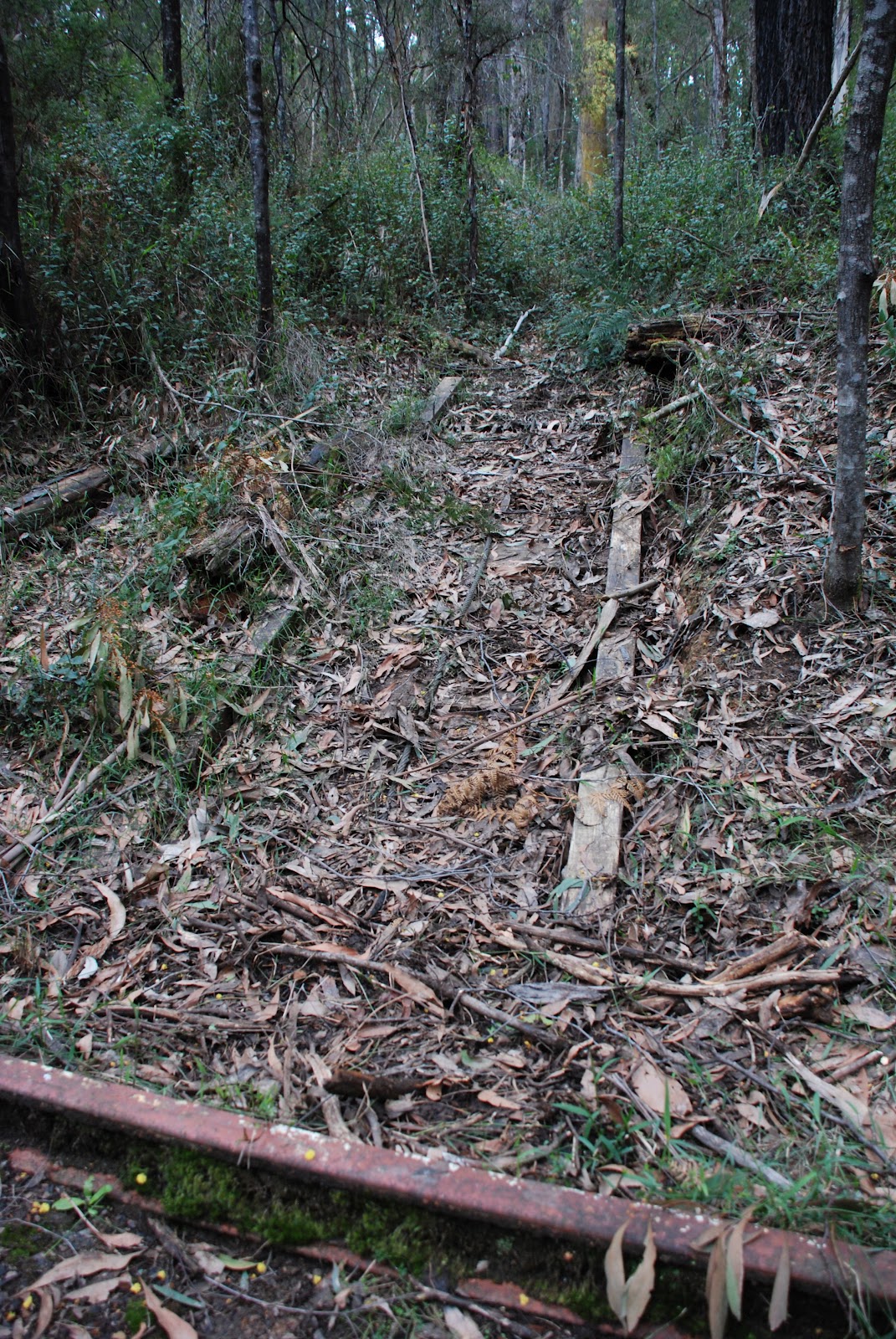
There did not seem much to be left of the tramline other than the trail that meandered through the trees as it made its way up the hill side.
When suddenly, out of nowhere, these tracks appeared in the middle of the path!
Richards had us going in all directions!
There were wooden tracks coming down hill meeting the metal rails
at a complete right angle!
After morning tea we continued along the tramline and made our way gradually into the Mississippi Creek Valley.
The sign on this tree told us that the tree had been struck by lightning.
We moved on from the lightning tree and came across some bushland that had recently undergone a controlled burn.
The blacken tree trunks and bare undergrowth was in stark contrast to the lush green forest we had just been walking through.
As we continued along the path, we could see the remnants of past bush fires.
Young wattle trees were is full flower amongst the blackened tree trunks.
We clambered through the branches of a fallen tree
and around just one more corner as the crow flies,
we had made it to our lunch destination.
A recently completed shelter provided an excellent spot for lunch.
The sign told us about the Mississippi Mills that were once located nearby.
We would have enjoyed a long leisurely lunch if it weren't for the blow flies that seemed to flying around for no reason. But enough said about that. After we had eaten enough and sat enough, we headed back down hill following the same path we came up.
So, instead of backwards photos, here are some old photos that show Richards Tramline and Richards Mill from a by-gone era.
 |
| source: http://nla.gov.au/nla.pic-an24493528 |
This old slide, courtesy of the National Library of Australia, shows a bridge being built along a section of Richards Tramline.
These following photo are courtesy of the Light Railway Research Society
of Australia Inc. and show Richards Mill as it was in the 1960's.
 |
| Still working! |
 |
| An old tram truck almost overgrown. |
Many tramlines and sawmills were destroyed in the devastating bush fires of 1939. Much of the infrastructure was not rebuilt, as engine driven trucks and lorries replaced the horse driven and pulley systems of the old tramlines.
Richards Tramline it's self disappeared into the bush and was not rediscovered until after the Ash Wednesday fire in 1983. A local friends group and Parks Victoria have maintained Richards Tramline track, allowing it to be enjoyed by historians and walkers alike.
We certainly enjoyed our walk through history.
Oh, almost forgot. Here is the
link to the stats of the walk.
The walk was over 15 kilometers in total and we ascended about 200 meters.
We were very glad it was all downhill after lunch!
For more information about the Light Railway Research Society of Australia Inc.
follow this
link
Walkabouters Club of Victoria Inc.
A0019863A