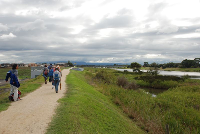
Clouds hung low on the hills that surround Healesville,

as we arrived at our meeting place for the start of the day's walk.

After a quick cup of coffee and purchasing delicious lunches from the local bakery,
we headed off down the road for our wander around Healseville.

We followed the Grace Burn, that flows through the township,
past the Olympic Swimming Pool,

the local cricket ground where finals were in full swing.

The terrain was easy going over the soccer field,

but we soon came across our first hill of the day
as we entered the local cemetery.

Cemeteries can provide a unique perspective on local history. We noted the dates on many of the headstones which suggested that early settlers to the area experienced many difficulties in their struggle to establish a thriving community in such a rugged location.

We continued through the cemetery and walked through Queens Park,

past some wonderful sculptures that were made from bare tree trunks.


as we arrived at our meeting place for the start of the day's walk.

After a quick cup of coffee and purchasing delicious lunches from the local bakery,
we headed off down the road for our wander around Healseville.

We followed the Grace Burn, that flows through the township,
past the Olympic Swimming Pool,

the local cricket ground where finals were in full swing.

The terrain was easy going over the soccer field,

but we soon came across our first hill of the day
as we entered the local cemetery.

Cemeteries can provide a unique perspective on local history. We noted the dates on many of the headstones which suggested that early settlers to the area experienced many difficulties in their struggle to establish a thriving community in such a rugged location.

We continued through the cemetery and walked through Queens Park,

past some wonderful sculptures that were made from bare tree trunks.

Each trunk has been carved to represent leaves of different local indigenous trees.

We continued through the park, past the many busy people setting their stalls
and stages for the Healesville Music Festival that was due to be held that afternoon.

After walking briskly through town,
we were soon looking across lush green farmland

toward the hills of the Yarra Ranges.
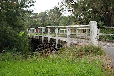
We crossed over some bridges,

walked along the banks of the Grace Burn,

and enjoyed the views of the country side.

Our path took us past the wares of a local gardener.

A few of us even found some room in our packs for some tomatoes and peppers!

We wandered along our path,

and soon arrived back in town in the midst of another festival!

It was time for lunch and it started rain but instead of getting wet,
one bright spark had a great idea!

We quickly bought tickets and climbed on board the local tourist train

and enjoyed lunch in fabulous style!


We continued through the park, past the many busy people setting their stalls
and stages for the Healesville Music Festival that was due to be held that afternoon.

After walking briskly through town,
we were soon looking across lush green farmland

toward the hills of the Yarra Ranges.

We crossed over some bridges,

walked along the banks of the Grace Burn,

and enjoyed the views of the country side.

Our path took us past the wares of a local gardener.

A few of us even found some room in our packs for some tomatoes and peppers!

We wandered along our path,

and soon arrived back in town in the midst of another festival!

It was time for lunch and it started rain but instead of getting wet,
one bright spark had a great idea!

We quickly bought tickets and climbed on board the local tourist train

and enjoyed lunch in fabulous style!

Stay tuned for Part 2 of our Healesville wanderings.
It's all about Badgers Weir!
It's all about Badgers Weir!
Walkabouters Club of Victoria Inc.
A0019863A