Showing posts with label Urban Bushwalking. Show all posts

Saturday, September 28, 2013

Braeside Park - Edithvale-Seaford Wetlands and return


Braeside Park is nestled in the south east suburbs of Melbourne and was the destination of today's walk. Eleven of us met in the carpark and headed off as the wind blew clouds and rain over our heads.


The surrounding area, which includes Braeside park, was originally inhabited by the Bunurong people. They hunted animals and gathered food growing in the coastal bush land. They also carved canoes from Eucalyptus trees to use to fish and hunt waterbirds. Several trees remain in the park which bare these scares. 

This tree is not one of them!


Modern Art?!


The row of European cypress are being gradually removed and sculptured to resembled local animals and birds. Very creative!


Natural sculptures


The geology of the landscape is a mixture of sandy, coastal heathland and woodlands where the soil is able to support giant Red Gums.


Spot the dragonfly.

Europeans settled in the area in the 1840 and the land was cleared to graze cattle and later to breed and train horses for thoroughbred racing.


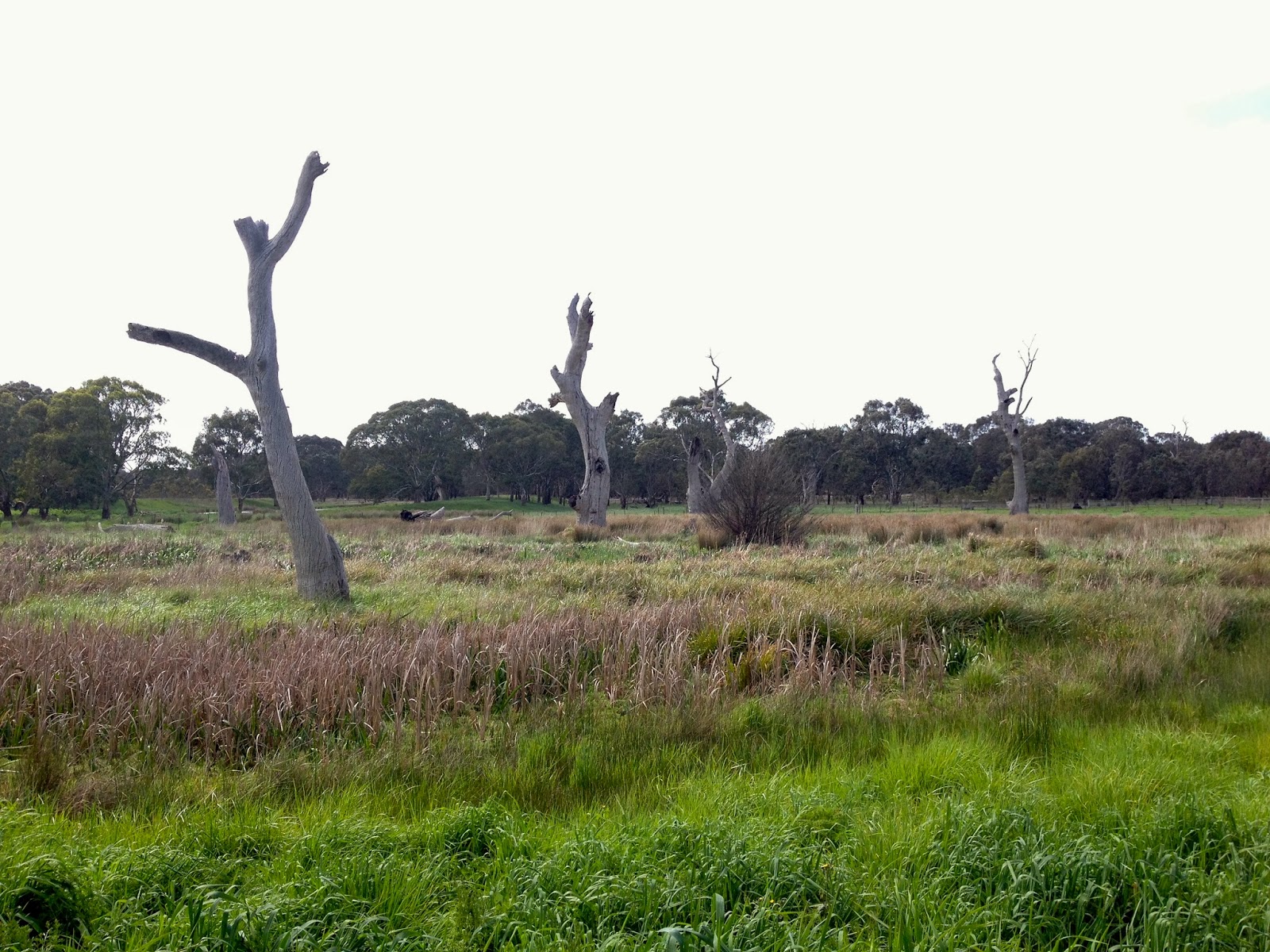
A sewage treatment plant was built in 1940 and operated until it closed in 1980. Braeside Park was then created. Many of the larger trees in the area may have died as a result of nutirents rich water produced by the treatment plant. Australia natives have evolved in impoverished soils, so tend to not grow well when inundated with too many nutrients. 


Some of the grazing land was also developed into golf courses as sandy soil is excellent for drainage.


Fortunately, some land was set aside for the Park and other nearby wetlands provide a network of waterways and remnant bushland for native wildlife and bird-life that live in.


Much has been done to restore and re-vegetate the Parklands. Volunteers, Parks employees and the local Friends group hold regular planting days to help remove weeds and replant areas with endemic native species.


Several trails weave through the Park which allow visitors to explore the different habitats and wetlands. Nesting boxes have been placed for various species of bird and animals as well as bird hides for people to sit in to observe the abundant bird-life that live in and visit these wetlands.


After walking the length of the park, we crossed a road and suddenly, we were in suburbia.


Shared bicycle and walking paths link a number of small lakes and parkland with Braeside Park and the nearby Edithvale-Seaford Wetlands. 


The Edithvale-Seaford Wetlands are of international significance. They represent the last remnants of the Carrum Carrum Swamp, a large inland, freshwater coastal lake, that was mostly drained when Europeans settled in the area.


Approaching weather!


These Wetlands support a rich and diverse bird population of local and international importance. The wetlands are home to the endangered Australasian Bittern and Magpie Goose and is visited by up to 25 migratory species including the Sharp-tailed Sandpiper.


Can't see any birds here!


Other species living in the wetlands include Purple Swamphens, Blackwinged Stilts and up to six species of ducks.


No birds here either!


Black swans are also increasing their numbers in the wetlands!


Black Swan and Cygnets!


Other birds species living in the wetlands include the Great Egret, Baillon's Crake, Lewin's Rail and the White-bellied Sea Eagle.


That's where they are!


After visiting the birds, we walked through the reeds and had lunch out of the rain under a very large bird hide.


This bird hide is in fact the Edthivale-Seaford Wetland Education Centre and much to our disappointment it was closed. We sheltered underneath to eat lunch out of the passing rain.


A big bird hide!


The Education Centre is open on Sundays to the general public and provides learning opportunities to school children on week-days. For more information click here.


After lunch we walked back through suburbia.


A brief stop was made a coffee shop with a view.


View from coffee shop window.


We eventually arrived back at Braeside Park just in time for the last quarter of the AFL Grand Final. Thought I wasn't going to mention football didn't you!! Well, I did!


Hello Possum!


Go Hawks!!


Walkabouters Club of Victoria Inc.
A0019863A

Monday, November 5, 2012

Scotchmans Creek Trail - Saturday 27th, October

Here is the very belated post about the walk along Scotchmans Creek Trail.

On the Saturday morning in question, an intrepid group of Walkabouters met at Brickmakers Park in Oakleigh.

But as I wasn't there, here is a brief description of the walk in past tense.


We left the park via the NE corner and after crossing Stamford Road we linked up with the sealed path that took us to Scotchman's Run Reserve. At the highest point of the Reserve we had excellent views along the creek valley to the skyline of Melbourne. 
We continued to follow this path, which brought us out to Estelle Street and turned right. After crossing Huntingdale Road we walked beside Melbourne Water Retarding Basin under the Monash Freeway, and Stephensons Road. The trail took us through many very attractive settings which have been maintained by local Councils and Friends Groups.

Morning tea was had at Fairway Reserve. we then walked north on Forster Road and then east along Waverley Road, before turning north on Regent Street and into the gravel path leading to Valley Reserve. Here we enjoyed lunch before retuning along the trail back to where we started. 


Eucalyptus trees were in flower along the trail, sending their sweet scent into the air. The delicate flowers are always a joy to see in spring time.


From all accounts, everyone enjoyed the walk, including Dante the Dog!


Looking forward to joining everyone on the next walk at St Erth in Blackwood for a walk along the Lerderderg River!


Walkabouters Club of Victoria Inc.
A0019863A


Sunday, August 28, 2011

Darebin Creek Trail - Saturday, 27th August

On another perfect Melbourne's winter day, 11 Walkabouters met at the Darebin Parklands for an enjoyable 15 kilometer walk following the Darebin Creek Trail.


The catchment of the Darebin Creek begins north of Melbourne past the town of Woodstock and flows through the town Wollert and the suburbs of Epping, Bundoora, Ivanhoe and meets up with the Yarra River at Alphington.


 Walking was easy, following the bitumen and concrete track that is shared by cyclist, walkers, runners, dogs walkers and the local snake populations.


The land that now makes up the Darebin Creek Trail and Parklands was the original home of the Wurundjeri clan of the Woiwurrung people.


We headed north, following the Darebin Creek upstream,


in the glorious, morning sunlight.


These Currawongs kept a beading eye on us as we walked on by.


You wouldn't know it, but suburbia is just a stones throw away.


Over the last one hundred years or so, the land surrounding Darebin Creek has had many uses including dairy farming, market gardens and fruit orchards. Agriculture eventually gave way to expanding suburbs and industry.


Geology has also had a major influence on the development of the land. The eastern side of Darebin Creek is dominated by ancient sedimetary sandstone laid down during the Silurian period.

On the western side of the Creek, the land forms are predominately volcanic-based quaternary basalt created from lava flowing from volcanoes to the north of Melbourne about 800, 000 years ago. Hence, quarrying for bluestone was very popular on the western side of Darebin Creek.


Darebin Creek is a natural divider of the two geological areas.

Pooh sticks anyone?


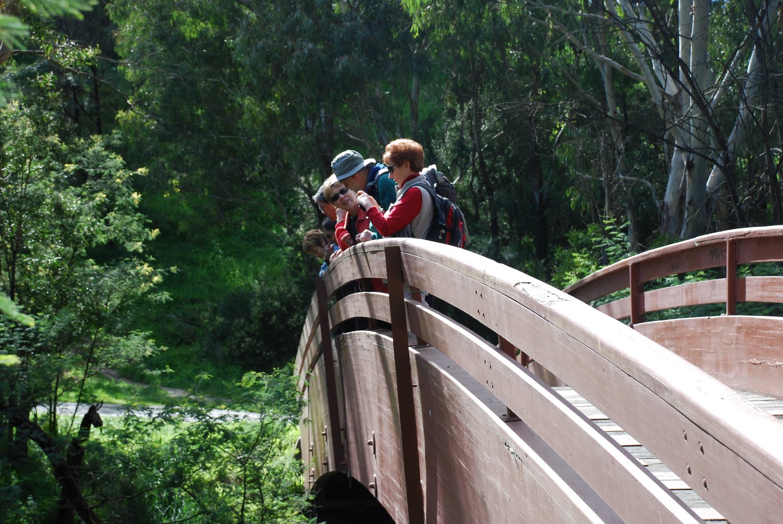
We crossed the creek on several occasions. This bridge provided a great vantage point views, photos and childhood games.

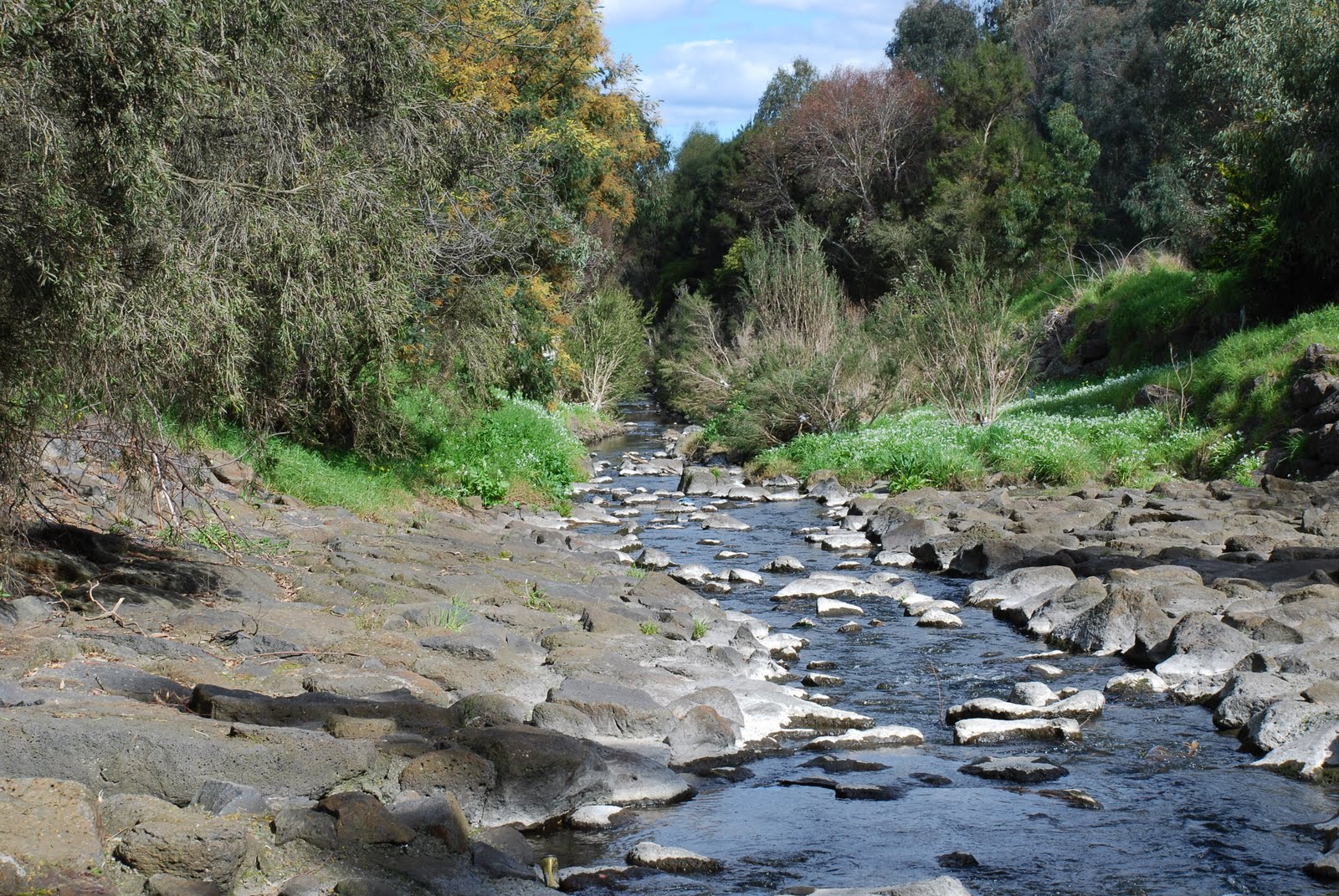
Looking up stream from the bridge

Along the trail, there are notices and signs to keep walkers from getting lost and getting entangled with cyclist. It's important to keep left!


The morning winter light provided some good photo opportunities.

Reflecting


on reflections.


Sunlight through Black Wattle


Along the banks of the Creek we saw the signs of European influences, 


Willow
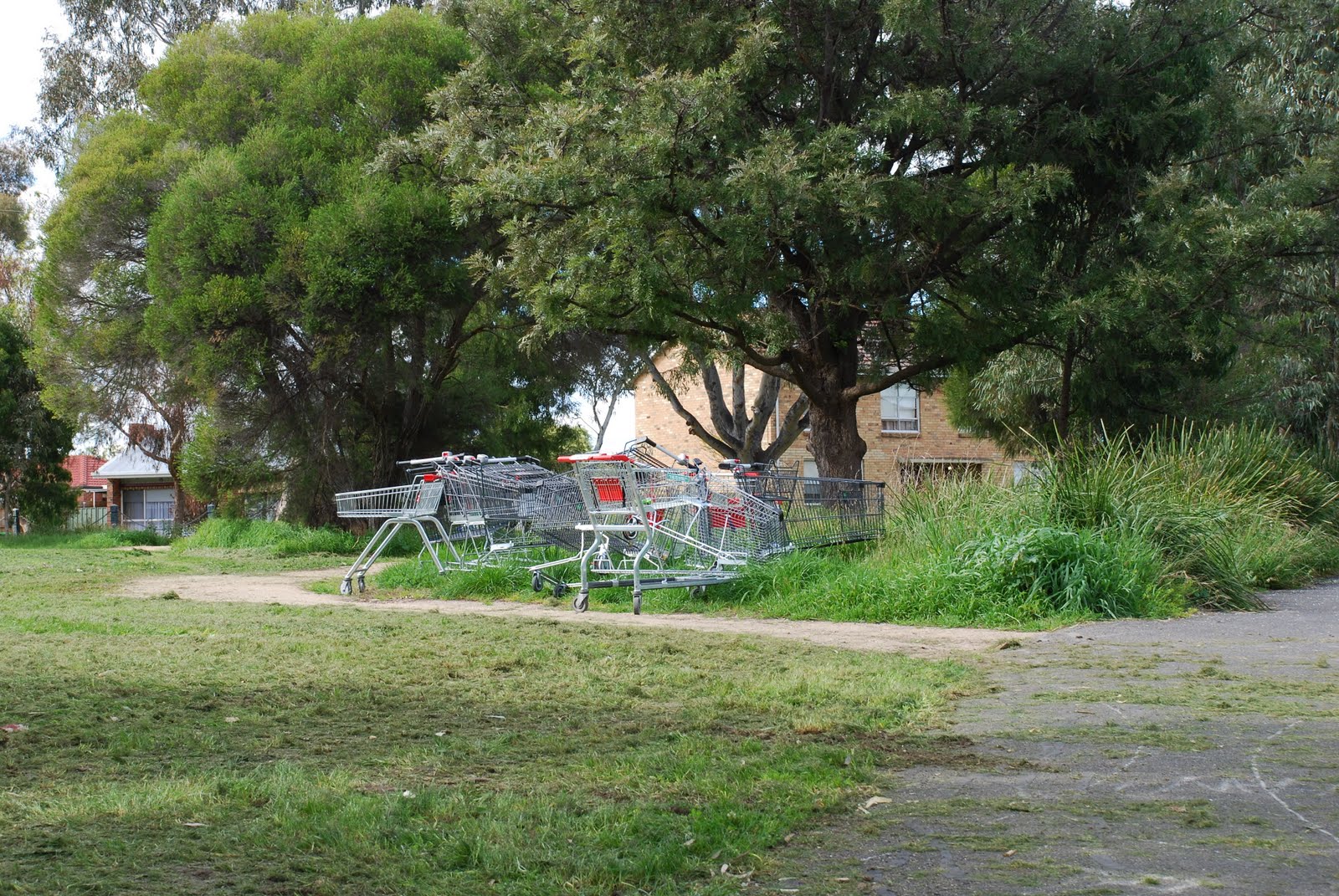
as well as impressions of modern living.


Trollei collectus

Local friends groups and the Council have undertaken lots of regeneration and revegetation along the banks of Darebin Creek and surrounding parklands.


A more natural setting.

We arrived at our morning tea spot and enjoyed the views over the creek towards the west whilst sipping on our water and nibbling our snacks.

Just up from Northland...no lattes for these intrepid Walkabouters!

After our morning tea,


we headed downstream aiming to return to Darebin Parklands for lunch.


Looking downstream towards Melbourne.

So back down the trail we went,


making sure to keep left,


back over the bridge,


whilst enjoying the views,


and under bridges,

Locally quarried bluestone reinforcing the creek banks.

following the Creek,


Acacia verticillata  Prickly Moses


until we arrived back at Darebin Parklands,


but where is everyone?


lost again?!


aahh....

there they are!


Thank-you to our intrepid leader for an excellent day's walk.


For more information about Darebin Parklands click on the following links


Walkabouters Club of Victoria Inc.
A0019863A

Related Posts Plugin for WordPress, Blogger...